2022 Blue Ridge Parkway
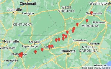
In July, 2022, we drove the length of the Blue Ridge Parkway and part of the Skyline Drive in Shenandoah National Park.
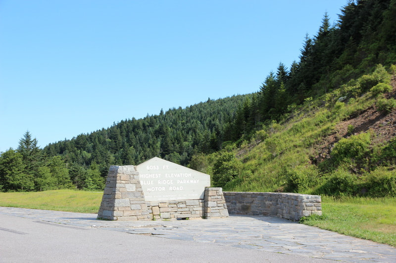
The Blue Ridge Parkway (BRP) extends from Great Smoky Mountains National Park to Shenandoah National Park, which is a distance of 469.1 miles. It generally follows the ridge of the blue ridge mountains, and ranges from an altitude of 649 feet at the James River in Virginia to 6053 feet at the Richland Balsam Overlook at mile 431.4. We drove it from south to north. After doing this, and reading up on the BRP, we found that the information is oriented from north to south, so we recommend you going north to south if possible.
The Blue Ridge Parkway (BRP) extends from Great Smoky Mountains National Park to Shenandoah National Park, which is a distance of 469.1 miles. It generally follows the ridge of the blue ridge mountains, and ranges from an altitude of 649 feet at the James River in Virginia to 6053 feet at the Richland Balsam Overlook at mile 431.4. We drove it from south to north. After doing this, and reading up on the BRP, we found that the information is oriented from north to south, so we recommend you going north to south if possible.
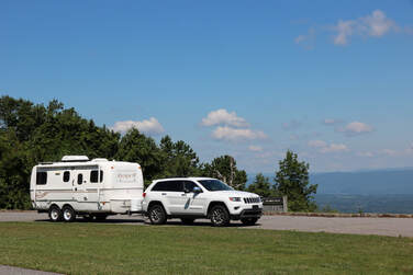
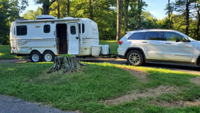
Because it follows the blue ridge and must go up and down to go through the gaps, of which there are many, we were constantly going up and down. We decided to tow the trailer along the length of the BRP and therefore gave our Jeep a real workout.
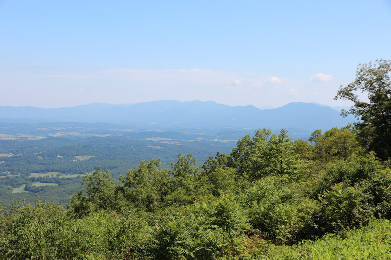
We started by driving from Chattanooga to the southern end of the BRP. Our first stop was at the Waterrock Knob visitor center where we had an almost 360 degree view. In order to get the 360 degree view, we would have to take the trail to Waterrock Knob summit. We started up the trail and realized that it was STEEP and we were not ready to tackle such a trail. It would have been a 580 foot climb in half a mile.
We planned to not go too far this first day and there were no BRP campgrounds near the southern end, so we stayed in the Moonshine Creek Campground in site 2, just off the BRP at the Balsam Gap at mile 443.1. The campground was in a very pleasant location on the creek, but the sites were very close to each other, so close that we were not comfortable having a campfire so close to our neighbor.
|
|
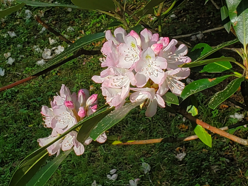
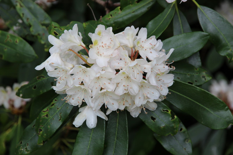
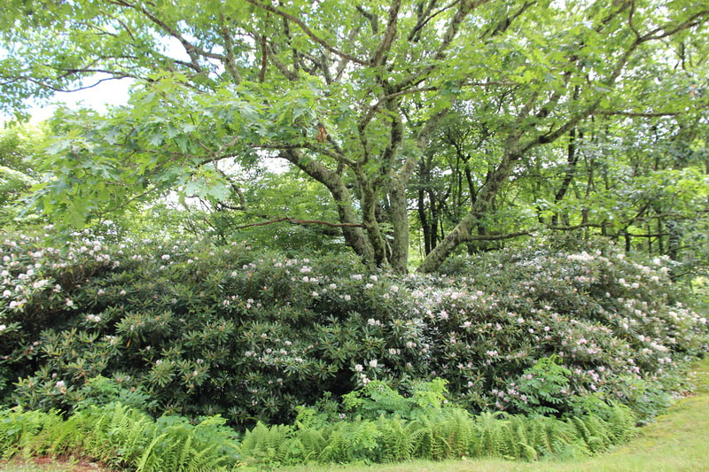
We drove at the peak of the Rosebay Rhododendron season and saw Rhododendrons loaded with flowers along the BRP all through North Carolina and into Virginia. They put on quite a show for us.
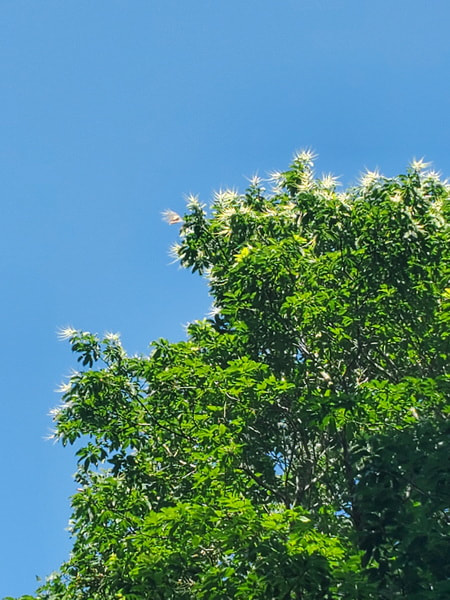
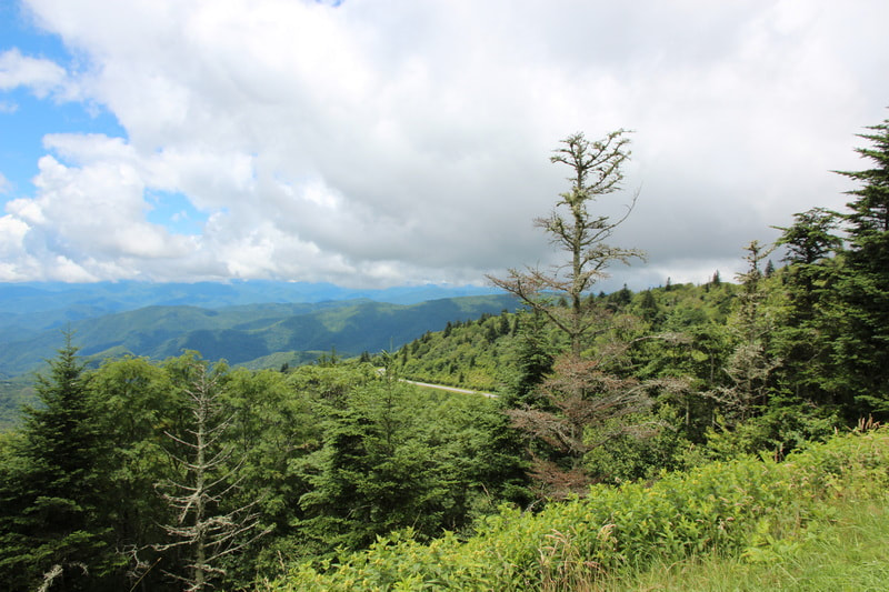
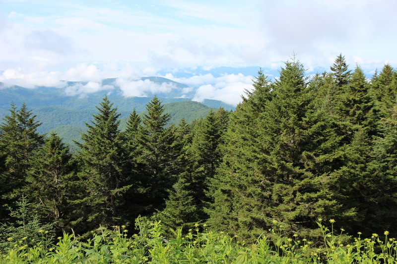
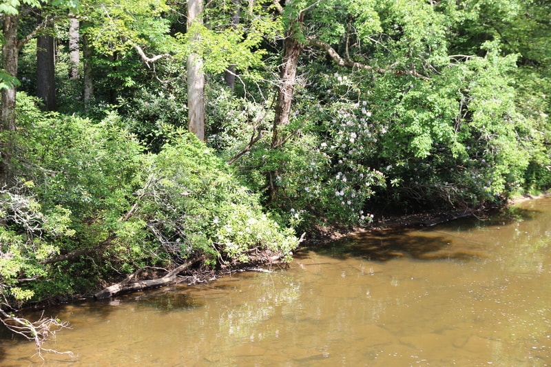
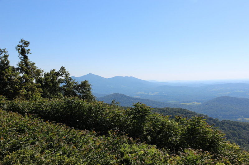
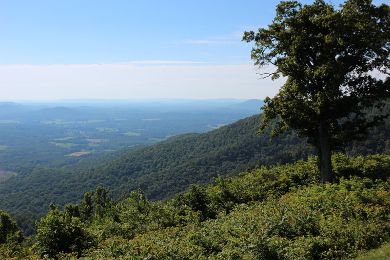
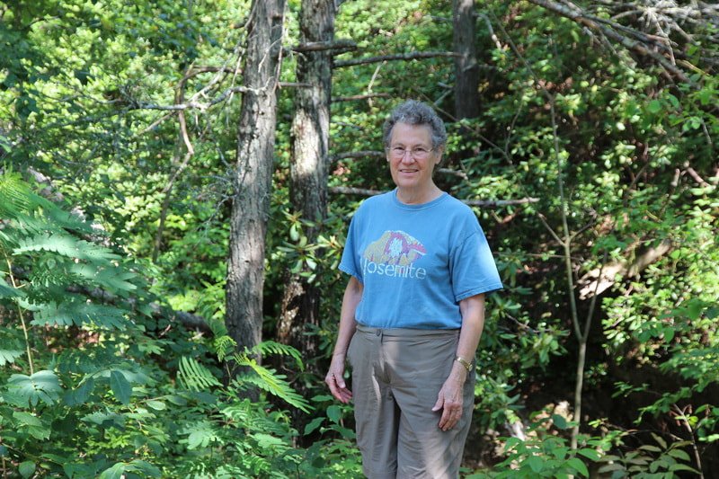
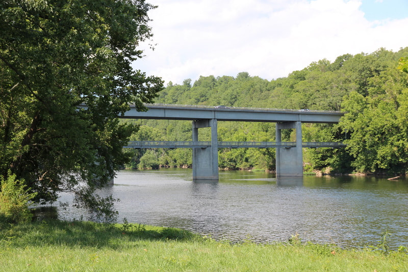
Along the BRP, there were turnouts everywhere and we stopped at many of them. I have included photos of many of them but we didn't keep track of them.
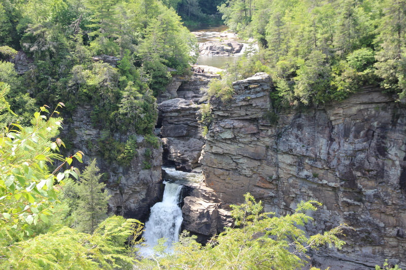
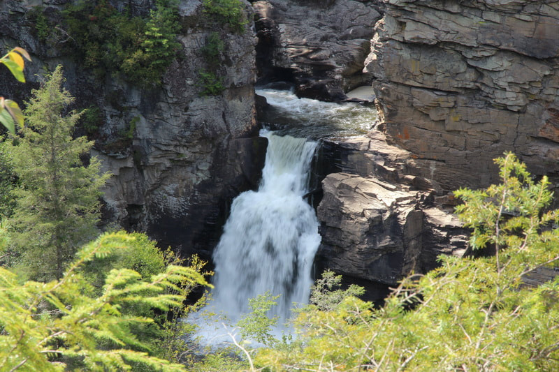
We hiked to Linville Falls on the second day. Getting down to the falls involved a lot of steps but it was worth the hike to see the two sets of falls.
Along the BRP, there were turnouts everywhere and we stopped at many of them. I have included photos of many of them but we didn't keep track of them.
We hiked to Linville Falls on the second day. Getting down to the falls involved a lot of steps but it was worth the hike to see the two sets of falls.
We stayed the next night at the Julian Price Memorial campground at site E12. There is a nice lake as well as trails. We got some wood for a campfire but alas, it rained so the campfire had to wait for another day.
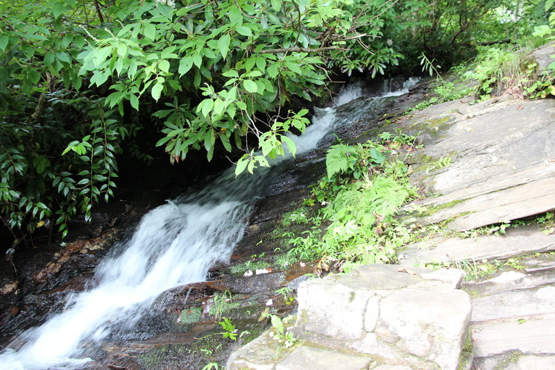
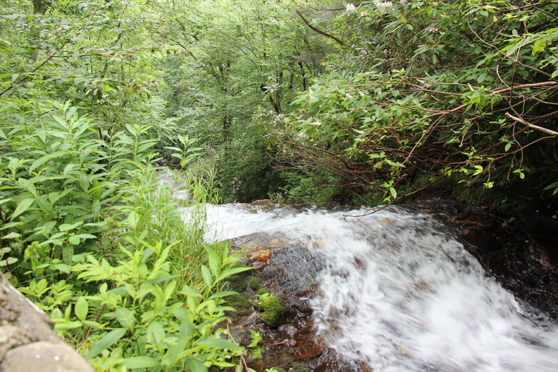
At E. B. Jeffress Park, we took the Cascades Trail, a short one mile loop that went to the cascades and back. The only hard part of the trail was, as you might guess by now, the steps down to the cascades.
We had lunch at Doughton Park picnic area. Many of the parks along the BRP had picnic areas, and they were uniformly nice. Next, we came to the Blue Ridge Music Center. The center had a museum which presented the story of the music in this part of Appalachia, and they also had live music. They hold concerts here and I bet they are quite the events.
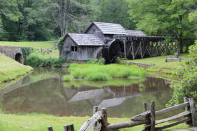
We stopped at Mabry Mill, which was a water wheel driven mill that ground corn and wheat into flour for local farmers. The mill has been restored by the park service and was a great place to see what life was like there 100 years ago. The mill is supposedly the most photographed spot in the BRP. There was also a restaurant there that served "southern cooking." We were too late in the day to try it, but we did have some ice cream, and we got the largest cups of ice cream I think I have ever had. It was plenty to spoil our dinners.
Just past Mabry Mill was our next campsite, Rocky Knob, where we stayed in site T14. Again, we tried to have a campfire but the rain had another idea. I guess it rains many afternoons and evenings in July.
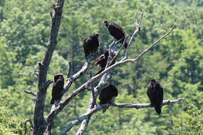
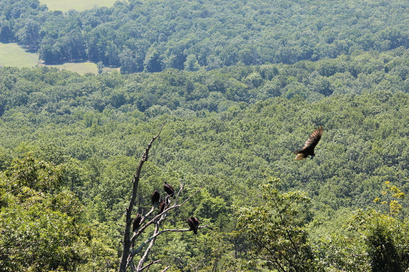
The next day, we pulled out at a stop near Great Valley overlook. When we looked down the slope, we saw a dead tree with half a dozen buzzards roosting in it. As we watched, a buzzard would fly off and another would land. One spread his wings to dry or cool them? We talked to another person at the stop who described himself as local, and he told us that this was on a hawk and other birds of prey migratory path, and he participated in an annual count in the fall of migrating birds of prey.
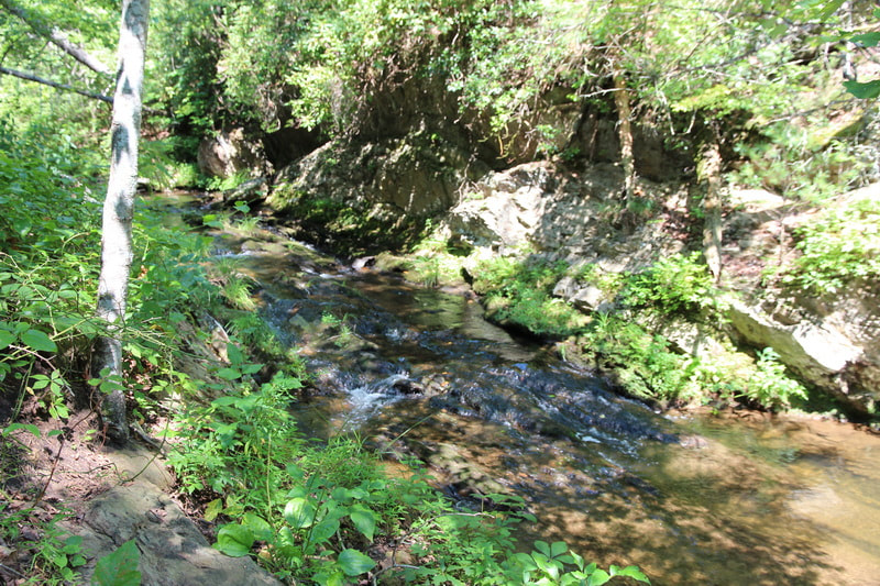
We had lunch at Peaks of Otter at a lovely picnic area right along a creek that drained out of Abbot Lake. This area was very busy with a nature center and many visitors. After lunch, we hiked the Fallingwater Cascades trail. Our guidebook listed it but did not indicate that it was recommended. We didn't notice this but we agree we would not recommend it. The view of the cascades is in little bits rather than a grand view of the cascades as we had expected.
We had lunch at Peaks of Otter at a lovely picnic area right along a creek that drained out of Abbot Lake. This area was very busy with a nature center and many visitors. After lunch, we hiked the Fallingwater Cascades trail. Our guidebook listed it but did not indicate that it was recommended. We didn't notice this but we agree we would not recommend it. The view of the cascades is in little bits rather than a grand view of the cascades as we had expected.
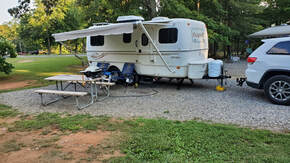
We continued north and stopped at the low point of the BRP at James River. The visitor center was closed so we continued on to our next campground, the Lynchburg KOA, site 7. Even though there was a nearby campground on the BRP, we needed a chance to recharge batteries and dump our holding tanks, so we spent two nights at this campground. The weather held out here and we had a really nice campfire.
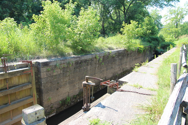
The next day, we drove up the BRP to its end then continued on to the Skyline Drive in Shenandoah National Park. We had time to drive up to Loft Mountain where we had lunch before returning down (south) back to our campground. We had time to pass the exit to our campground and continue on to James River where we viewed the Otter Creek Riffles and then walked the trail to the lock that is preserved along the river. In the 1800s, the river was the primary way to ship products and people, and the locks made it possible to navigate where the river was shallow or rapid. We learned that the locks lasted until the railroads became the primary way to get around.
After another nice campfire, two nights in a row, we started home. After a short drive of about 15 miles, we reached the nearest Interstate, and proceeded 400 miles on Interstates to home, a long day but an easy drive.
For information on our trip, we used the National Park Service guides for BRP and Shenandoah, the AAA BRP map, the BRP Travel Planner, and "Hiking and Traveling the Blue Ridge Parkway" by Leonard M. Adkins, which he describes as "the only guide you will ever need including GPS, detailed maps, and more." It would be a great guide if we were traveling north to south, but it was useful particularly for the hiking information.